It’s a sudden shift to colder weather, south Florida. A strong Cold Front crossed and we’re faced with dragging our coats back out. Prior to this pattern change, we had a couple weeks with warm weather.
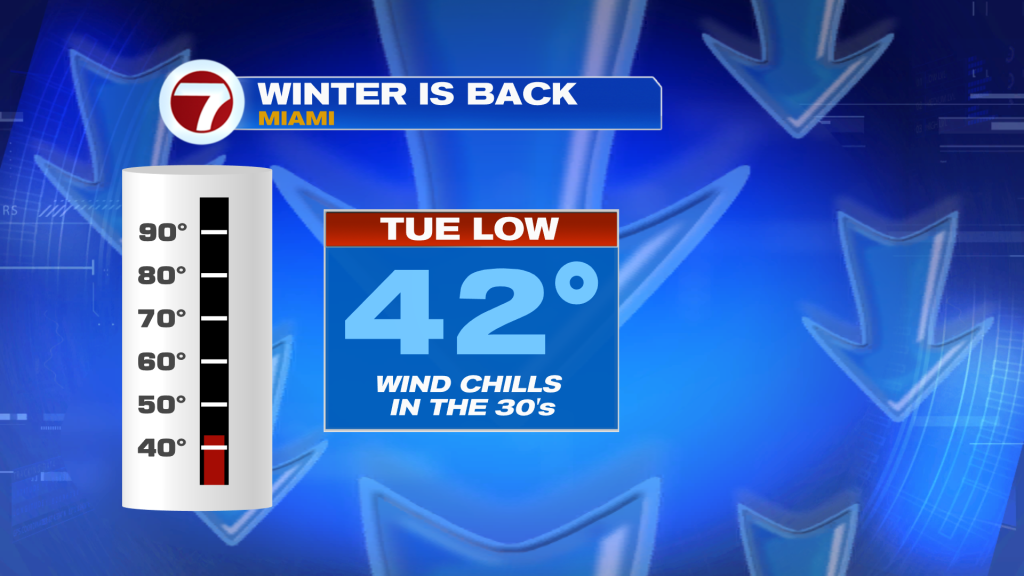
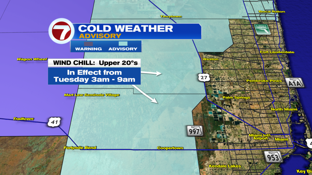
In addition to the colder air making a comeback, stronger winds have returned too. It’s enough to create wind chills in the 20’s and 30’s across Miami-Dade and Broward Counties into Tuesday. The Wind Chill values are the “feels like” temperatures when winds are factored in. Metro areas will feel like the lower 30’s during the pre-dawn hours (generally from 3 AM to daybreak, and a bit thereafter). Western areas may feel like the upper 20’s, though, and a Cold Weather Advisory has been issued (shown below, shaded in light blue).
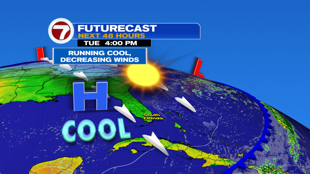
After the chilly start to Tuesday, look for “cool sunshine” and lighter wind speeds. This will happen as High Pressure shifts closer to Florida.
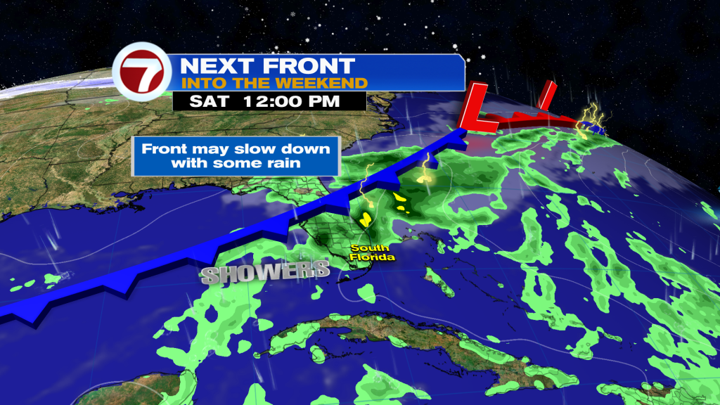
If you’re ready for warmth to return, hang on. As High Pressure migrates east, we’ll find temperatures spiking to warmer levels. This switch begins Wednesday afternoon with seasonable air back for Thursday. After that? Additional warmth with more humidity will come. Finally, as the weekend gets underway, forecast maps show a slowing Cold Front moving across Florida. It won’t bring immediate or noticeable cooling, but it will probably lead to needed rain showers, at least in favored areas.